The Snow Piles Up Down Under, Cold Records Fall; Bengaluru Shivers; Sailors Found Dead After Attempting Fossil Fuel-Free Atlantic Crossing; + Demonizing Human Prosperity
Over the weekend, ‘green environmental’ protesters in France rioted and looted in the 'Fight Against Climate Change'.
The Snow Piles Up Down Under, Cold Records Fall
A massive snowstorm Friday night continued into Saturday, blanketing Aussie alpine regions.
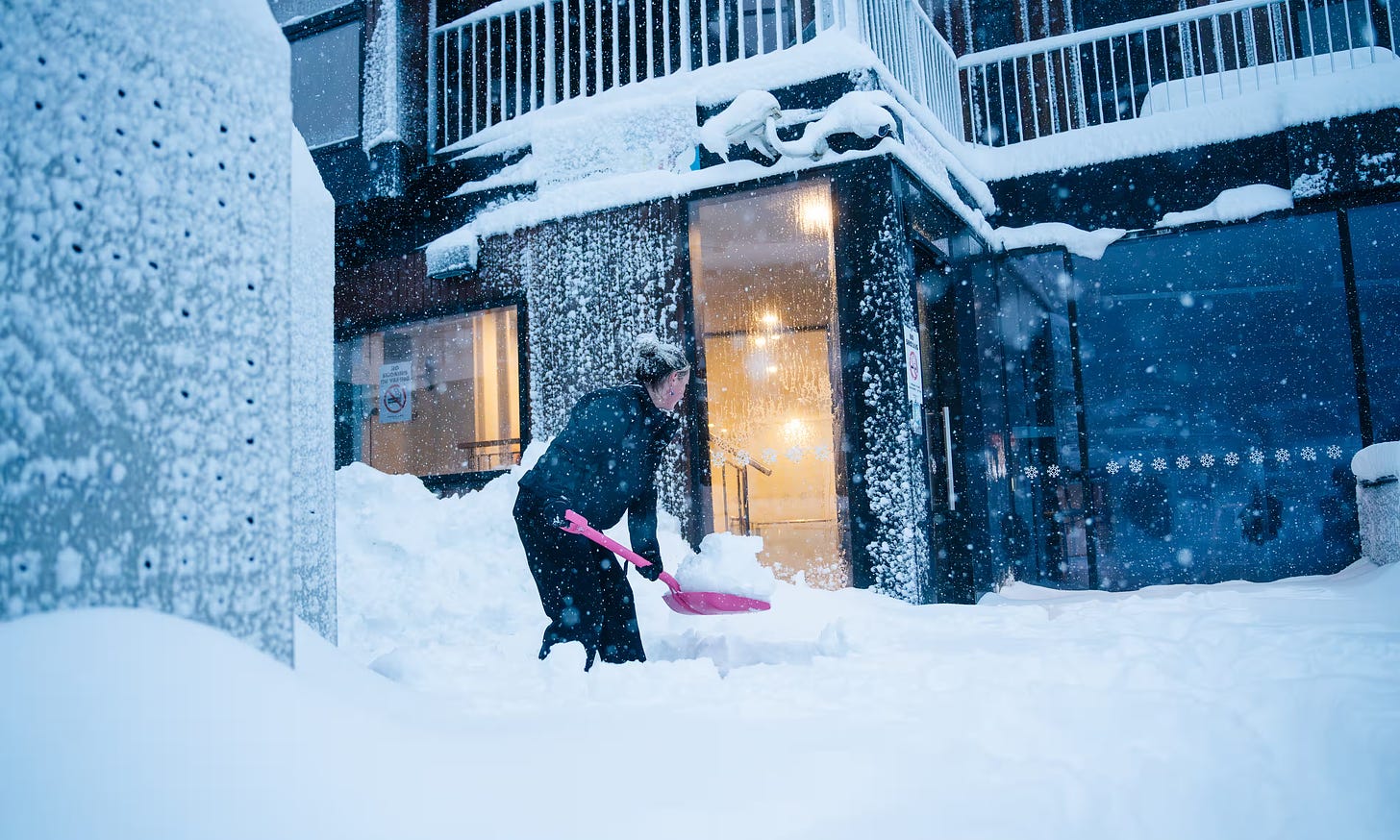
Despite 'The Science' foretelling of a future without snow, this weekend brought a spectacular "Christmas in July" for ski resorts across the southeast, with more 50cm (20 inches) accumulating in popular tourist destinations.
Angus Hines of the Bureau of Meteorology (BoM) described it as a “very wintry outbreak”.
Mt Buller received 22cm (8.7 inches) of snow on Saturday morning, with an additional 15cm (5.9 inches) accumulating throughout the day, and yet more on the way. "It’s been brilliant, it started snowing on Friday night and hasn’t stopped," said the resorts marketing manager David Clark. "The best conditions we’ve seen so far."
While cold enough to snow, it was a slow start in June, "but it’s such a relief to have these big snowfalls and proper cold fronts coming through, setting us up for the rest of the season," Clark added. "We’re guaranteed to have snow now through October."
Mount Hotham saw 31cm (12.2 inches) in 24 hours to Saturday morning, reaching full capacity and closing to day visitors. Thredbo, further north, posted 27cm (10.6 inches) overnight, bringing its seven-day total to 43cm (16.9 inches).
"The entire mountain and village are covered in a thick blanket of fresh white snow, creating magical wintry scenes," a spokesperson said. “Experts forecast this low-pressure system could bring another 50cm (19.7 inches) over the next 10 days."
Falls Creek in north-east Victoria received 45cm (17.7 inches) of snow in just 24 hours. Its seven-day total has now exceeded 70cm (27.6 inches).
Perisher was hit hard and all, with freezing temperatures were recorded as low as 800m (2,625 feet).
While lower areas hadn’t posted any new snow, as occurred last week across NSW to the Queensland border, low-lying communities in northern Victoria and southern New South Wales should receive fresh flakes in the coming days.
This is owing to the anomalously-low temperatures, which have already proven record-breaking in many spots.
Queensland experienced additional record lows on Monday.
In tropical north Queensland, Cairns dropped to 11.4C (52.5F), to Townsville to 8.6C (47.5F), and the Sunshine Coast to a very chilly 3.7C (38.7F). Coastal centers such as Mackay also felt the blast, dropping to 4.4C (39.9F).
Southern Queensland experienced sub-zero temperatures, with Oakey recording the state’s coldest morning at -4.4C (24.1F), Amberley seeing -1.2C (29.8F), Applethorpe dropping to -3.8C (25.2F), and Warwick to -3.7C (25.3F).
Longstanding records were broken elsewhere, with Palmerville in Cape York —for example— shivering through its coldest day in 125 years, hitting an all-time low of 0.5C (32.9F).
Keep reading with a 7-day free trial
Subscribe to Electroverse Substack to keep reading this post and get 7 days of free access to the full post archives.


